
Southern Colorado: New storm system threatens saturated flood zones
An atmospheric river brings additional precipitation to the region one week after record rains caused widespread damage across twelve counties.
By Elijah Davidson ·
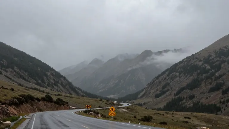
A second wave of precipitation is set to arrive in southern Colorado this weekend, raising the risk of renewed flooding in areas that were devastated by a storm last week. The National Weather Service expects light rain and snow from Friday through Saturday, followed by a heavier system Sunday into Monday. Although the new event is not forecast to match the intensity of the previous record-breaking storm, the ground remains saturated, increasing the likelihood of water rising again.
Eric Petersen, a meteorologist with the National Weather Service in Pueblo, advised residents to monitor local notifications and evacuation watches. He noted that areas which flooded previously face a high potential for higher water levels if heavy rain returns. The initial storm, which began on Oct. 21, resulted in heavy rain, falling rocks, and washed-out roads across twelve counties in the southern Colorado and Four Corners regions. Archuleta County reported 540 damaged homes as of Tuesday, though officials expect that number to increase.
Meteorologists attribute the incoming moisture to an atmospheric river, a narrow band of concentrated water vapor moving from the Pacific Ocean. Brooke Scholtens, a meteorologist for the NWS Grand Junction region, explained that a pocket of low atmospheric pressure is working in combination with this river to produce precipitation. The forecast predicts one to three inches of rain or snow across southern Colorado over the weekend, with higher amounts expected at mountain elevations. In contrast, the previous storm delivered two to five inches of rain, with some areas receiving more than seven inches.
Snow is expected to fall at elevations as low as 8,000 feet Sunday and Monday, which could impact mountain passes. Wolf Creek Pass was temporarily closed due to flood damage, and Scholtens said travelers should be cautious. She added that while the flooding may not be as widespread as the previous event, the risk of flash flooding persists because the soils are already saturated. The NWS is monitoring peak flow forecasts for rivers in the region, specifically tracking each river's action stage, the gauge height that triggers emergency responses.
The San Juan River, which sustained significant damage, reaches its action stage at 9.48 feet in Pagosa Springs. It is currently projected to reach 9.51 feet Monday morning, although Scholtens noted that this figure could change. Travelers are urged to avoid crossing flooded roadways, as water as shallow as eight to ten inches can float an average-sized car. Scholtens emphasized that most flood deaths occur in vehicles, making visibility of debris and water depth critical for safety.
Russ Schumacher, the state climatologist with the Colorado Climate Center, stated that the period from September through October is likely to be the wettest on record for much of southern Colorado. The San Luis Valley experienced a 100-year rainstorm last week, with some areas facing conditions equivalent to a 1,000-year storm. Schumacher clarified that such a storm has a 1% chance of occurring in any given year, a probability that allows for historic floods to happen two years in a row, as seen in Archuleta and La Plata counties. He linked the unusual wet conditions to a super El Niño, which typically brings heavier autumn rainfall to the southern part of the state.
Between Oct. 22 and Sunday, Mineral, Hinsdale, and Archuleta counties received approximately 884,000 acre-feet of rain. This volume is roughly equivalent to the annual water use of millions of households, given that Coloradans typically consume about 380,000 acre-feet per year in cities and towns. About 266,000 acre-feet of that water flowed into Navajo Reservoir by Monday. Lake Powell, which collects water from the Colorado River and its tributaries including the San Juan, saw its storage increase by about 397,600 acre-feet during the same period. Despite this boost, the reservoir remains less than 25% full. Schumacher warned that the new storm could delay recovery efforts, as the risk of further damage to roads and infrastructure remains high.
Source: The Colorado Sun